
Fountain Valley Neighbors: Block Sources
A block lookup should begin with the source that matches the question. The Orange County GIS gateway is a map for parcel shape and adjacent geography. Assessor information can be checked per parcel, while the RecorderWorks index can trace selected ownership transfers by name. Election data is available in aggregate, but the voter self-lookup is identity-gated. Neighborhood Watch provides a mediated community contact layer without an open household list. For neighbors, the source and date matter as much as the map. A comprehensive public HOA or neighborhood-association directory was not found in the reviewed official sources.
| Source | What It Shows About a Block | Access |
|---|---|---|
| OC Public Works Land Records/GIS | Parcel shapes, nearby polygons, APNs, and map context | Free map gateway; controls vary by viewer |
| OC Assessor and ParcelQuest | Assessed owner, situs address, mailing address, and parcel facts | Public gateway and counter; verify linked data |
| RecorderWorks index | Indexed grantor and grantee names for selected transfers | Free index, then copy order; no web images |
| OC Vote Data Central | Aggregate registration counts by city, district, year, and party | Free aggregate view; not a household list |
| Fountain Valley Neighborhood Watch | Mediated block contact and reporting-district connection | Ask the program; no open resident roster |
| HOA or association contact layer | Public board or contact details only when an organization publishes them | Organization rules; no comprehensive directory located |
The table also shows why “neighbor” is not one record field. An owner may receive tax mail at another address. An occupant may not appear in a parcel file. A registered voter may be protected or absent from a public route. A community group may connect households without naming them. The source and date should travel with every block observation.
Mapping a Fountain Valley Neighbor Block
Use the OC Public Works Land Records and GIS gateway to move from one address to the parcels that actually touch it. Search or navigate to the subject address or APN, turn on parcel, lot, and jurisdiction layers, select the parcel, and save the identifiers before looking outward. The correct neighbor is an adjoining polygon, not simply the closest point on a map. Roads, channels, rear lot lines, and irregular subdivisions can make visual distance misleading.
- Standardize the address and locate the subject parcel in the GIS viewer.
- Select the parcel and note the APN, legal-description or tract reference, and visible jurisdiction context.
- Click each adjoining polygon individually, including side and rear parcels where the lot lines show contact.
- Use the Assessor route for each selected APN and record assessed owner, situs, mailing, and parcel facts with the date checked.
- Use the RecorderWorks name index only for a selected ownership or transfer question, not as a full street export.
Where the viewer does not offer a documented buffer tool, map browsing and individual parcel selection are the reliable adjacent-parcel method. The neighbors around a parcel are defined by touching polygons, not by a broad radius. For a whole named street and its longer ownership chain, switch to the Fountain Valley street directory workflow instead of stretching a block map beyond its purpose.
Fountain Valley GIS Layers for Neighbor Parcels
The associated-documents map supplies more context than a simple parcel outline. Documented controls include a City selector, a document-type menu, parcel and legal-description labels, and tools that help compare a modern map with survey or tract material. These controls explain why a lot line, road edge, or older description may not line up with a casual address search.
- Document types include Record of Survey, Parcel Map, Tract Map, Corner Record, Lot Line Adjustment, Jack Raub Note, Topographic Survey, County Surveyor Tie Book, and Alignment Note.
- Map labels can identify APN, legal description, parcel address or number, and road right-of-way dimensions.
- Draw and Measure, Time Filter and Time Chart, and Google Street View tools are documented controls.
- Layers include city annexations, parcels, flood parcels, corner records, tract and parcel maps, records of survey, lot-line adjustments, monuments, and control points.
- Results can identify a reference, conveyance or map type, number, document reference, recorded or survey date, license number, and correction certificate.
Those tools help connect an APN to a map record. They do not turn GIS into a title opinion, an occupancy register, or a public list of nearby households. A legal description and a recorded document remain the stronger evidence when a parcel boundary is disputed.
Fountain Valley Owner, Mailing Address, Occupant Records
The Assessor-linked property service can show an APN, situs address, assessed owner or name vesting as publicly displayed, tax mailing address, legal description or tract-lot reference, land use, year built, square footage, lot size, and other characteristics when displayed. Situs means the parcel's physical location. Mailing means where tax or other correspondence goes. Those labels answer different questions and neither one proves who sleeps at the property.
An absentee owner, trust, management address, PO box, or later transfer can make the tax roll look different from the current deed or the people seen at a parcel. Neighbors should read that mismatch as a date and custodian issue, not as proof that the parcel record is wrong. The GIS property-tax layer updates once each year after the late-July assessment-roll release and remains static for that fiscal year. A later sale can therefore leave an annual assessment snapshot behind the recorded transfer. Treat an owner result as dated parcel evidence, not as a household finding.
The 2026 Orange County property-fraud notice update is a useful safety check for recorded documents. An official-looking solicitation can copy a real APN or deed date from public records, yet correct details do not authenticate the sender. The Orange County real-estate fraud alert information explains the official notice channel.
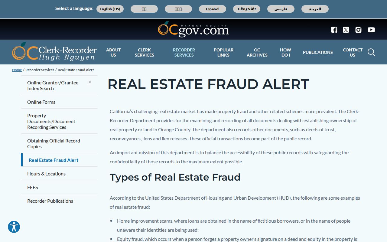
The image connects parcel curiosity with a practical record-safety step: verify a filing or notice through the Clerk-Recorder rather than relying on a private mailer.
Fountain Valley Neighbor Connections
Neighborhood Watch is the strongest documented community route for meeting people on the Fountain Valley block without turning a public map into a resident roster. City material says the program was founded in 1977, typically organizes groups of 15 to 20 households, and works across 45 police reporting districts. The program can help a caller learn whether a group exists and whether a block representative or reporting-district captain can make a connection. The city does not present that contact layer as an open list of household names.
The official Join Neighborhood Watch page gives the participation route.
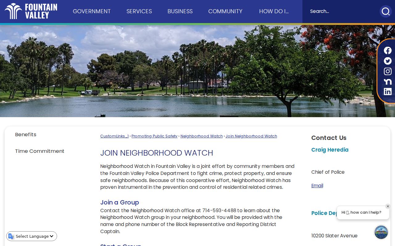
That mediated model is more useful for a block than guessing at a name from an owner field. It lets a person make a voluntary community contact while keeping nonparticipants out of a public roster.
The Neighborhood Watch overview describes the local structure and its public-safety purpose.
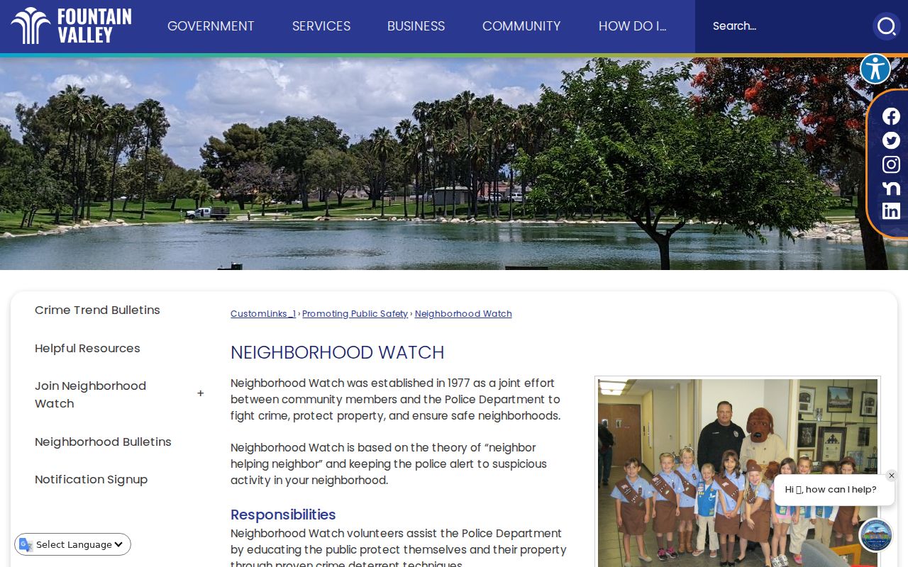
A reporting district is a geography used for public-safety organization. It is not a list of the homes or people inside the district.
Join Neighborhood Watch
Participation route for a household or block.
City page 305
Fountain Valley Voter Data Around Neighbors
California voter information is not an open block directory. The Orange County self-lookup asks for a date of birth, the last four digits of a California driver license or ID, or the last four digits of a Social Security number when no California credential exists, plus the first three letters of the first name. The returned screen is for the person who passed that identity gate. It can show registration status, name, mailing address, party, voter history, districts, sample ballot, and ballot tracking. Voter history shows credited participation, not ballot choices.
An approved data extract requires a stated authorized purpose, requested geography and fields, security arrangements, wet signature, identification, and supporting documents. Applications go in person or by mail, not by email or fax. A specific-voter request is limited to ten voters per application, payment precedes processing, and pickup or paid shipment is available. Commercial use is prohibited under the cited California rules. A block map should therefore use parcels and community contact channels, not an attempt to bypass the voter gate.
For civic context, aggregate data is the proper layer. OC Vote Data Central can show counts by city, district, year, and party, but it does not name the households around a Fountain Valley address. The 45 reporting districts help describe geography, not nearby households.
Fountain Valley Neighbors: Official Records and Commercial Tools
Official sources and commercial neighbor tools answer different questions. A government map or record carries a named custodian, a documented field, and an access rule. A commercial service may combine public and private data, refresh on an unknown schedule, or merge people with similar names. It can be a lead for a lawful personal question, but it is not a substitute for a parcel map, a recorded document, or a mediated community contact.
| Category | Useful for | Limit |
|---|---|---|
| Official GIS and parcel records | Adjacent polygons, APNs, map layers, and parcel context | Do not prove occupants or household membership |
| Official Assessor and Recorder records | Dated owner, mailing, transfer, and legal-description clues | Assessed owner is not automatically an occupant; RecorderWorks has no web images |
| Official community programs | Voluntary contact through Neighborhood Watch or a published organization channel | No open roster is promised |
| Commercial neighbor tools | Possible lead for a personal, lawful research question | Data may be stale, conflated, incomplete, or hard to verify at the source |
California's Megan's Law site is a separate official name and map search with statutory exclusions and use warnings. It is not a comprehensive block roster.
The official California Megan's Law search is the source for its published registry information.
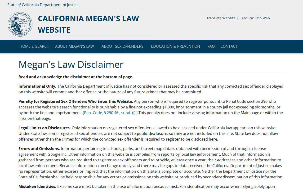
The image belongs to a distinct official registry category. It should not be blended with property ownership, voter information, or an ordinary block directory.
Fountain Valley Safe at Home and Protected Addresses
Safe at Home gives eligible survivors and other protected participants a substitute mailing address and confidential mail-forwarding. Government Code §6205 et seq. governs the program. It does not erase every historical public record, so a protected person may be absent from one current route while an older lawful record remains with its custodian. Search results should never be treated as evidence that a person lacks a protected status.
Utility, delivery, and driver-record addresses are not public neighbor fields. Neighbors may see a gap in a parcel trail because a protected person is not listed. The Driver's Privacy Protection Act, 18 U.S.C. §§2721-2725, restricts motor-vehicle personal information outside permitted purposes. Voter records and protected identifiers are handled under special rules. The city also did not expose a comprehensive HOA or neighborhood-association directory in the reviewed official sources. Member lists should be presumed private unless an organization deliberately publishes a contact channel.
California privacy rights can help a covered consumer request access, correction, deletion, or limits on certain data uses. The 2026 DROP platform is a route for registered data-broker deletion requests. Deleting broker data does not remove a lawful deed, assessment, or court source record, and a public map still must be read with its own date and custodian.
Privacy Limits on a Fountain Valley Neighbor Lookup
A neighbor lookup can show a parcel relationship or a public contact route. It cannot authorize surveillance, unwanted contact, or a claim that an owner is an occupant. California Penal Code §646.9 addresses stalking, and Code of Civil Procedure §527.6 supplies a harassment restraining-order path. Voter misuse can trigger Elections Code §18109 penalties. Public access is bounded by the purpose, source, and privacy rule that applies to the record.
Lawful use. Fountain Valley neighbors are people, not entries to collect. Use parcel and community information for personal, lawful research, voluntary connection, or safety awareness, and never use a record to stalk, harass, intimidate, or harm anyone.