
Walking a Fountain Valley Street by Address
A useful Fountain Valley street directory starts with one address and builds a record chain one custodian at a time. The Assessor can tie the situs address to a parcel and display an assessed owner, mailing line, legal description, and selected characteristics. GIS can show the parcel shape and nearby lots. RecorderWorks can locate indexed parties to recorded documents. A voter record is available only through an identity-gated self-check or an approved data route, and a reverse directory can show a listed person for a publication year. These sources overlap, but none is a complete list of who is present at an address.
Keep the research in a fixed order. Record the exact spelling, unit detail, parcel key, date, and source for every result. The chain is address to APN, APN to legal description, parcel to recorded parties, parties to deed copies, and then dated permits or historical directories. A person who appears in one layer may be an owner, a mailing recipient, a former party, or a listed adult. The record must say which.
- Standardize the street number, street name, city, state, and ZIP. Use the USPS address check when a unit, postal city, or ZIP line is unclear.
- Run the address through the Orange County Assessor gateway or GIS viewer. Capture the APN, situs address, mailing address, legal description, and map context.
- Use the APN and parcel clues to identify names in RecorderWorks. Search grantor and grantee roles, keep the date range, and save the instrument or older book and page reference.
- Order the relevant document, then compare its legal description with the parcel. Search city permits by address for construction or inspection evidence, without treating a permit as proof of household identity.
- Use the controlled voter route only when the purpose and access fit California rules. For past listed residents, ask library reference staff for the regional or criss-cross volume that covers the year.
Fountain Valley Assessor Fields for Each Address
The Orange County Assessor property information and parcel maps gateway directs the public toward ParcelQuest and related property data. Address search is the safest starting key when the street line is known. An APN is stronger once found because it can connect assessment, map, tax, permit, and deed work. The county says linked data should be verified, and the landing page does not confirm a public owner-name search capability. A street directory should never promise an unrestricted owner export without checking the live service.
| Assessor field or control | Street-search use and limit |
|---|---|
| Address | Text search key. Standardize the street number and name; unit handling varies. |
| APN | Text search key. Keep the Orange County hyphenated format as displayed. |
| Owner name | Capability is not confirmed on the county landing page. Verify the current ParcelQuest level before relying on it. |
| Search or Reset | Portal controls. A result remains subject to county verification. |
A parcel record can show assessed owner or vesting, tax mailing address, situs address, legal description, land and improvement values, exemption indicators, and selected characteristics such as lot size or year built when publicly displayed. Mailing and situs answer different questions. A tax notice can go to a trust, management address, or another city while the situs stays in Fountain Valley. Neither line proves who occupies the parcel.
If the portal does not resolve an address, the Assessor's public service counter at 500 S. Main Street, second floor, in Orange is the documented fallback. Keep the parcel key even when the street spelling changes. It is the bridge to GIS and to the recorded-document index.
OC GIS Shows the Parcel, Not the Resident
The free Orange County map route adds the geography that a text result lacks. The Associated Documents Map can place a parcel beside survey and tract evidence. It includes a City selector, document types, labels for APN and legal description, and map controls that help explain a street block without making the map a title record.
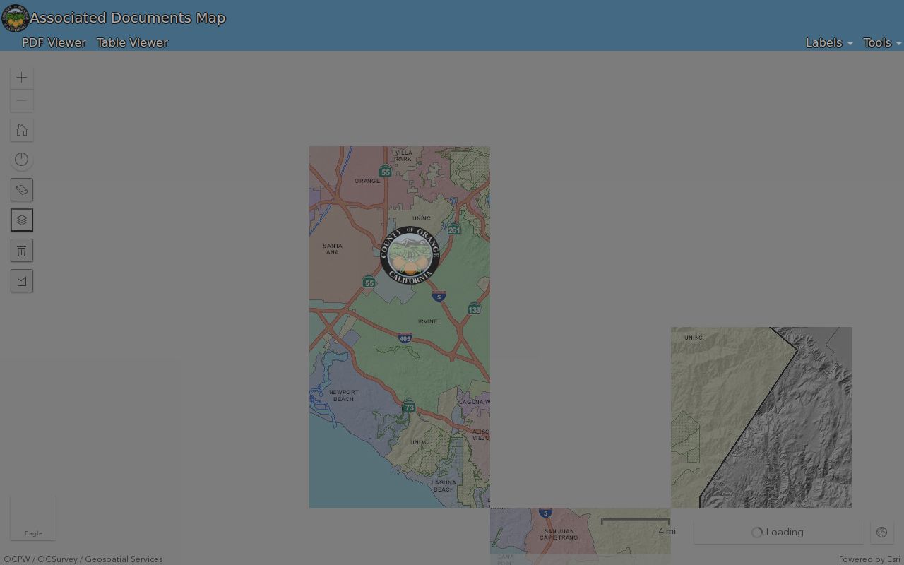
The Fountain Valley street directory image shows the map gateway used to connect a modern parcel to recorded map context. A map click can supply a reference, conveyance or map type, document number, document reference, recorded or survey date, license number, and correction certificate when those fields are present.
The companion OC Public Works land-record and GIS gateway supports parcel and land-record browsing. Turn on parcel or lot layers, select a parcel, note the APN, and compare the displayed shape with the legal description. City limits, zoning, aerial imagery, districts, survey or tract maps, and related layers add context. A map boundary is an aid to the recorded description, not a substitute for a survey or deed.
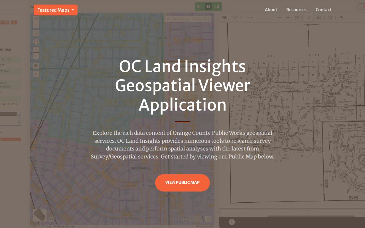
The land-record image reinforces the street-by-street method: zoom until parcel labels are readable, click each relevant polygon, and preserve the APN before moving to the next source. Roads, channels, rear lot lines, and irregular subdivisions can make the nearest visible parcel different from the legal neighbor.
| Map control or layer | What it adds to an address search |
|---|---|
| City selector and document types | Filters records such as surveys, parcel maps, tract maps, corner records, lot-line adjustments, and alignment notes. |
| Labels | Can display APN, legal description, parcel address or number, and road right-of-way dimensions. |
| Draw, Measure, and time controls | Tests distance, shape, and the date range shown by the map. |
| Layers | May include annexations, parcels, flood parcels, monuments, control points, survey records, and tract or parcel maps. |
Fountain Valley Street Directory Records
Address-keyed evidence is spread across separate systems. The coverage table below shows the role of each set and the access channel documented for Orange County and Fountain Valley. The record that looks most like a resident result may still describe an owner, a registered voter, a listed adult, or a public project rather than every person at the address.
| Record set | Keeper | What it shows | Access |
|---|---|---|---|
| Property and assessment | Orange County Assessor | APN, assessed owner, situs and mailing facts, values and characteristics | Property gateway or public counter |
| Parcel and land map | OC Public Works and OC Survey | Parcel shapes, adjacent geography, survey, tract, annexation, and map context | Free GIS gateways |
| Recorded deeds and liens | Orange County Clerk-Recorder | Indexed grantors, grantees, document types, dates, and transfer trail | Free index, copy order by mail or counter |
| Voter information | Orange County Registrar of Voters | Registration fields for a self-check or approved data request | Identity-gated lookup or authorized application |
| Permits and inspections | Fountain Valley Building and City Clerk | Project, permit number, dates, contractor, valuation, and inspection milestones | City services, counter, or focused CPRA request |
| Reverse or criss-cross directory | Library and regional repositories | Listed person beside a street and house number for a publication year | Branch reference and collection access |
The APN is the main join key. It can connect an assessment record to a map and then to a legal description in a deed or permit file. RecorderWorks itself is name-based and not a true address directory. Voter information cannot be used for open street browsing. Exact local criss-cross holdings remain a research gap and should be confirmed with OCPL staff rather than assumed from a regional title.
The Deed Chain Along a Fountain Valley Block
The deed chain answers who transferred a parcel, not who lived there. The Orange County Clerk-Recorder service description places recorded documents, official-record copies, marriage services, fictitious business names, and other clerk functions in one county system.
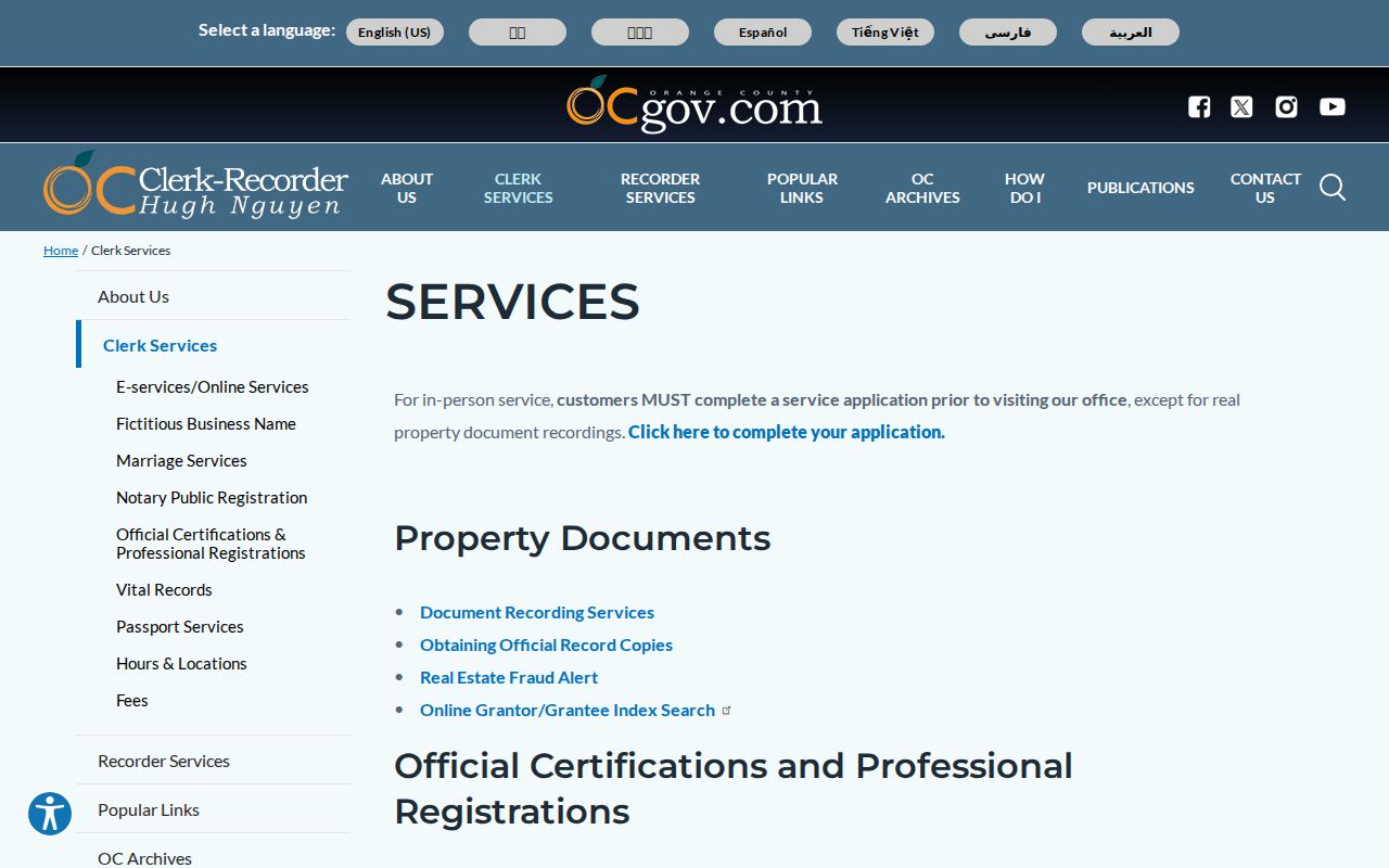
The Clerk-Recorder image points to the custodian that holds the document layer behind a street directory result. Begin with the current assessed owner or a known grantee, then find that party in RecorderWorks. Extract the grantor, grantee, recording date, instrument number, legal description, and any return or mailing clue from the copy. Search the seller as an earlier grantee, verify the same parcel or tract, and repeat.
Use both party roles and date ranges. A common surname needs a parcel, legal description, or chronology check. The index can reveal the document locator, but the web search does not provide the deed image. Military-discharge and other confidential material is not handled like an ordinary deed. A copy request should follow the published identifier and fee rules, not a guess based on a street name.
The current owner, an earlier seller, and a directory-listed person form three different claims. A deed can establish transfer, a permit can establish work, and a dated directory can show a listed adult. The street record becomes useful when those claims are kept separate.
Fountain Valley Permit Files Date Physical Work
Building records add a property timeline. A permit can identify a project description, permit number, issue or final date, contractor, valuation, inspection milestones, and the address tied to the work. It can show when a parcel was altered, repaired, enlarged, moved, demolished, or assigned a regulated electrical, gas, mechanical, or plumbing project. It should be read as evidence about the property, not as proof that a named person occupied it.
The Fountain Valley permits and handouts page is the documented municipal starting point for forms and instructions.
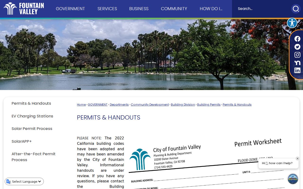
The permit image connects a street address to the city's Community Development and Building trail. Building Division phone access is 714-593-4429, with published counter hours Monday through Thursday from 7 a.m. to 6 p.m. and closure on Friday. If a live portal does not expose the needed fields, a focused Fountain Valley City Clerk public-records request can identify the address, date span, permit number, or project rather than asking for a list of every person connected to a property.
Historical depth for the permit portal was not established in the research. State the gap plainly, and use the city counter or records process for older files. A permit chronology can help explain a new tract, an addition, or a changed parcel, but it cannot fill the gap left by an absent household listing.
Bridge Fountain Valley Records Across 1982
Recorded-document identifiers change at 1982. For 1982-forward documents, the Orange County copy workflow uses the recording year plus a six-digit instrument number. For older material, book, page, and instrument references are needed when available. This is a reference change, not proof that the earlier record run was lost. RecorderWorks' earliest online index date was not stated on the official public instructions page.
The official-record copy instructions explain the next step after the index result. Recorded real-property copies are listed at $1 per page plus $1 certification per document or map. Mail a request with a self-addressed stamped envelope to Orange County Clerk-Recorder, 601 N. Ross Street, Santa Ana, CA 92701. Staff do not conduct the underlying name search by phone, mail, or at the counter, so the requester must bring the identifier.
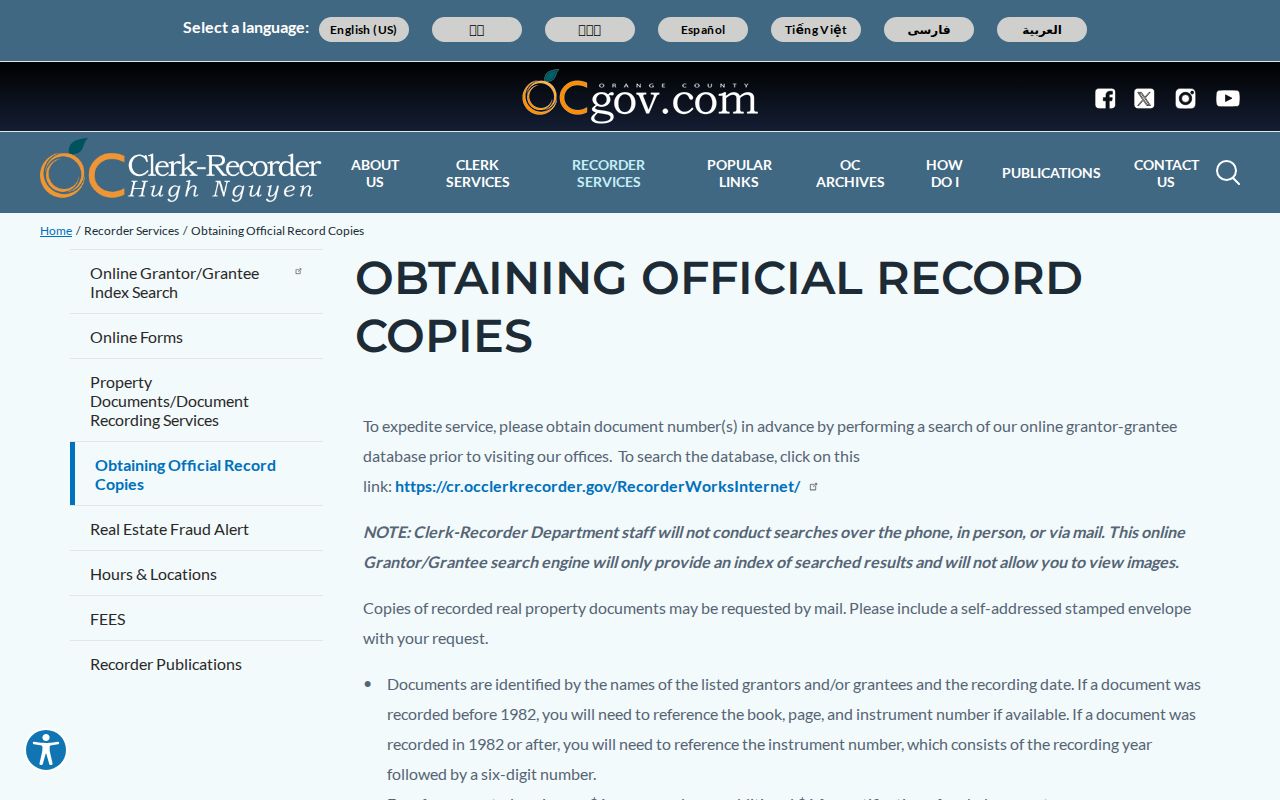
The copy-instructions image makes the index-to-document boundary clear. A deed image can supply the legal description, signatures, return address, and transfer-tax information that an index cannot. Keep those details with the APN and map reference before stepping backward to an earlier grantor.
Read a Fountain Valley Street in Older Directories
Historical street work belongs in a library collection, not in a claim that a current web portal contains every past household. The Fountain Valley Branch is at 17635 Los Alamos Street. The OC Public Libraries genealogy collection is the reliable entry point for licensed family-history databases and reference help. Ask staff for Orange County telephone directories, city or suburban volumes, reverse or criss-cross sections, newspapers, yearbooks, obituary tools, census databases, and local-history vertical files. Remote access and library-card rules vary by database.
OCPL verifies that Ancestry Library Edition requires a full-privileges card and in-branch use. HeritageQuest supplies census, local and family-history, and mapping material. Fold3 supplies military records and personal documents. A regional directory may cover several cities, so search terms should include Orange County, Santa Ana, Huntington Beach, Westminster, and Fountain Valley.
The UCI Orange County Regional History Collection finding aid identifies a 1950 to 1990 directory collection, with verified sub-runs for Orange County in 1963 to 1965, Santa Ana and Central Orange County in 1952 and 1962, South Coast Area in 1969 to 1970, South Orange County in 1969 to 1980, and Saddleback Valley in 1979 to 1980. Geographic titles do not guarantee a Fountain Valley entry. Contact the repository before relying on an unprocessed volume. The broader historical shelf is described on the Fountain Valley city directory page.
- Parcel
- A mapped land unit identified by an APN and legal references.
- Situs address
- The physical location of the parcel used by assessment, permit, and GIS systems.
- Plat
- A recorded map that lays out lots, streets, easements, or other land divisions.
- Criss-cross directory
- A publication that reverses the name-first order and lists a person beside a street and house number for a year.
Fountain Valley ZIP and Address Checks
A postal line is not a parcel boundary. Fountain Valley's two principal standard ZIP functions are 92708 for most street delivery and 92728 for Fountain Valley Post Office boxes. The USPS ZIP Code lookup should verify the address before the Assessor or GIS search. The city name used by a carrier does not prove that a parcel lies inside the incorporated city.
The Fountain Valley Post Office facility is at 17227 Newhope Street, Fountain Valley, CA 92728-9005. Published retail hours are Monday through Friday from 8:30 a.m. to 5 p.m. and Saturday from 9 a.m. to 3 p.m.; PO-box lobby access is listed as 24 hours. These are service clues, not a neighborhood map. Use city limits in GIS and the situs or legal description for jurisdiction.
92728 does not map post-office boxes to street parcels. A ZIP code directory can narrow a mailing clue, but it cannot replace the APN sequence. ZIP-wide people searching is not available in the voter self-lookup, and Assessor or GIS ZIP filtering must be confirmed in the live viewer before it is promised.
When Fountain Valley Tax Data Lags a Sale
Annual assessment data has a built-in time problem. The GIS property-tax layer updates once each year after the late-July assessment-roll release and remains static for that fiscal year. A display may reflect the January 1 lien-date assessee after a later sale. The recorded acquisition deed is better evidence of the transfer date, while the tax roll remains a useful annual snapshot.
Orange County Treasurer-Tax Collector search modes include an autocomplete street address, APN, tax-default information, tax-collector reference, assessment year and number, business name, lien, watercraft, and aircraft keys. If an address search fails, the official instruction points to APN or Tax Map assistance at 714-834-3411. The tax bill shows assessment and payment status, not who lived at the property.
For a street directory result, label the year beside every owner or mailing field. Then compare the annual roll with the deed recording date, permit dates, and any dated directory entry. That simple date tag prevents an older assessee from being mistaken for the latest recorded owner or a current listed resident.
Fountain Valley Streets Before 1957
Fountain Valley incorporated in 1957, so city-produced records begin later than county land, court, and vital trails. Orange County itself was created in 1889 from Los Angeles County. A pre-1957 permit or governmental reference may therefore use unincorporated Orange County or Talbert, and a pre-1889 instrument may point toward Los Angeles County repositories. Search the older place name before deciding that a record is missing.
Modern Fountain Valley grew through postwar subdivision and a mature tract pattern. APN, tract, lot, and subdivision-map references are often more durable than a street label. The name Fountain Valley predates incorporation and can appear in regional sources differently from the legal city boundary. A map or deed description can bridge those descriptions without inventing a street-renumbering story.
No authoritative source in the research documented a Fountain Valley-wide street-renumbering project. Older address changes should be tested against tract maps, legal descriptions, contemporary directories, and the Clerk-Recorder record, not assumed from a modern search result. This documented gap is a reason to preserve the map and parcel evidence at each step.
What a Fountain Valley Street Directory Cannot Establish
A street directory can identify an assessed owner, a mailing destination, a recorded party, a parcel shape, a permit event, or a historical listed adult. It cannot show every person who stays at an address. People who are not titled owners are systematically underrepresented in property records. Utility and motor-vehicle address data are protected, and household members do not appear as a standard parcel-card field. A protected resident may be suppressed from a voter or address result.
Do not treat a mailing address as occupancy, a permit as identity, a voter restriction as an invitation to browse, or an association contact as a public roster. Safe at Home substitute addresses, redactions, and organization privacy rules create further gaps. If the aim shifts from an entire street to one person, use a separate corroboration path rather than expanding a block search beyond its lawful purpose.
Privacy limit. Fountain Valley street and address records support personal, lawful research, family history, property review, and source checking. They do not authorize surveillance, threats, harassment, or intimidation. California Penal Code section 646.9 and Code of Civil Procedure section 527.6 address stalking and harassment, while the federal Driver's Privacy Protection Act restricts motor-vehicle personal information.